
From securing vehicles and tracking logistics to protecting vulnerable loved...
From securing vehicles and tracking logistics to protecting vulnerable loved...

The Global Positioning System (GPS) is one of the quietest...
Choosing the right pet tracker is essential for keeping your...
Travelling abroad often opens our eyes to the beauty of...
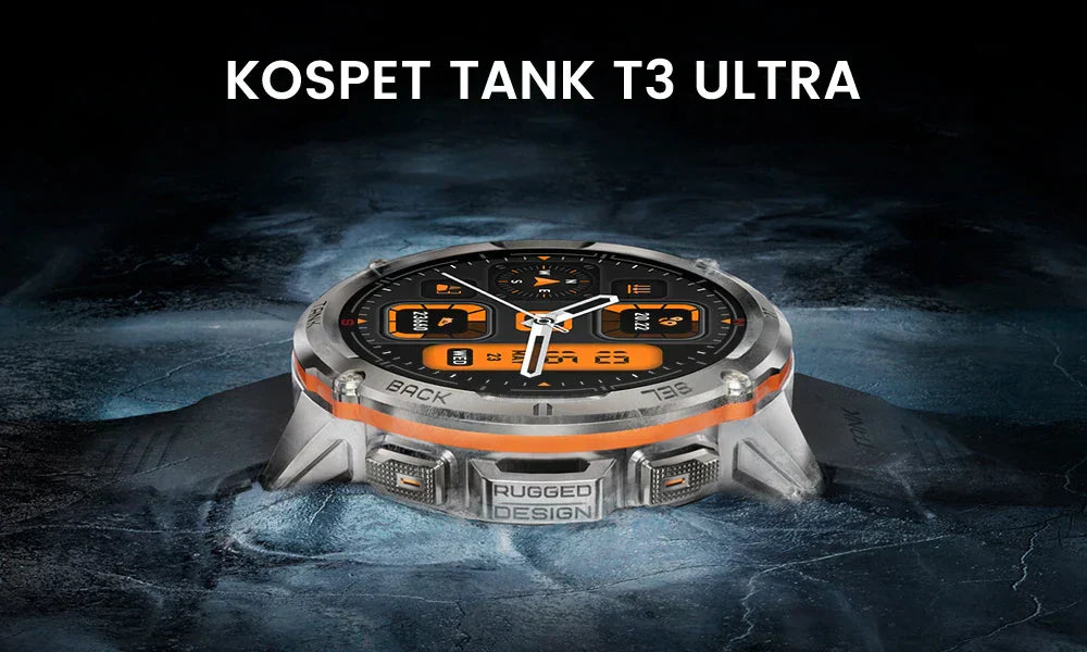
The KOSPET Tank T3 Ultra Smartwatch impresses with its rugged...

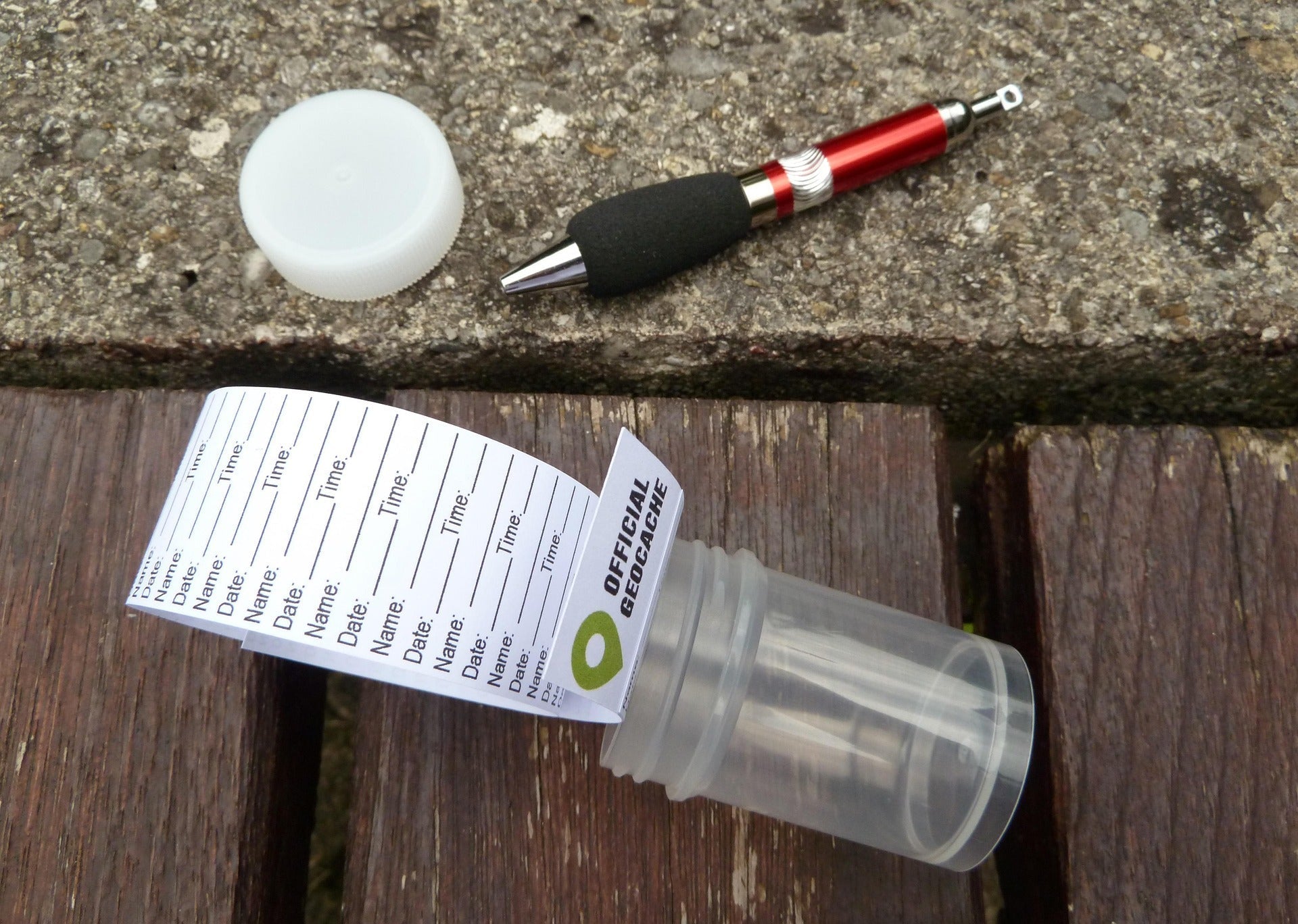
Geocaching: A Modern Treasure Hunt Geocaching is an outdoor adventure...